360Models for insurers

A visual record for risk and claims.

Capture buildings and installations photorealistically. Assess visible conditions, track changes and keep the record available to surveyors and claims handlers. Even after renovation or restoration.

From risk survey to claims handling

Support your assessment.

A shared view helps at three stages of the insurance process.

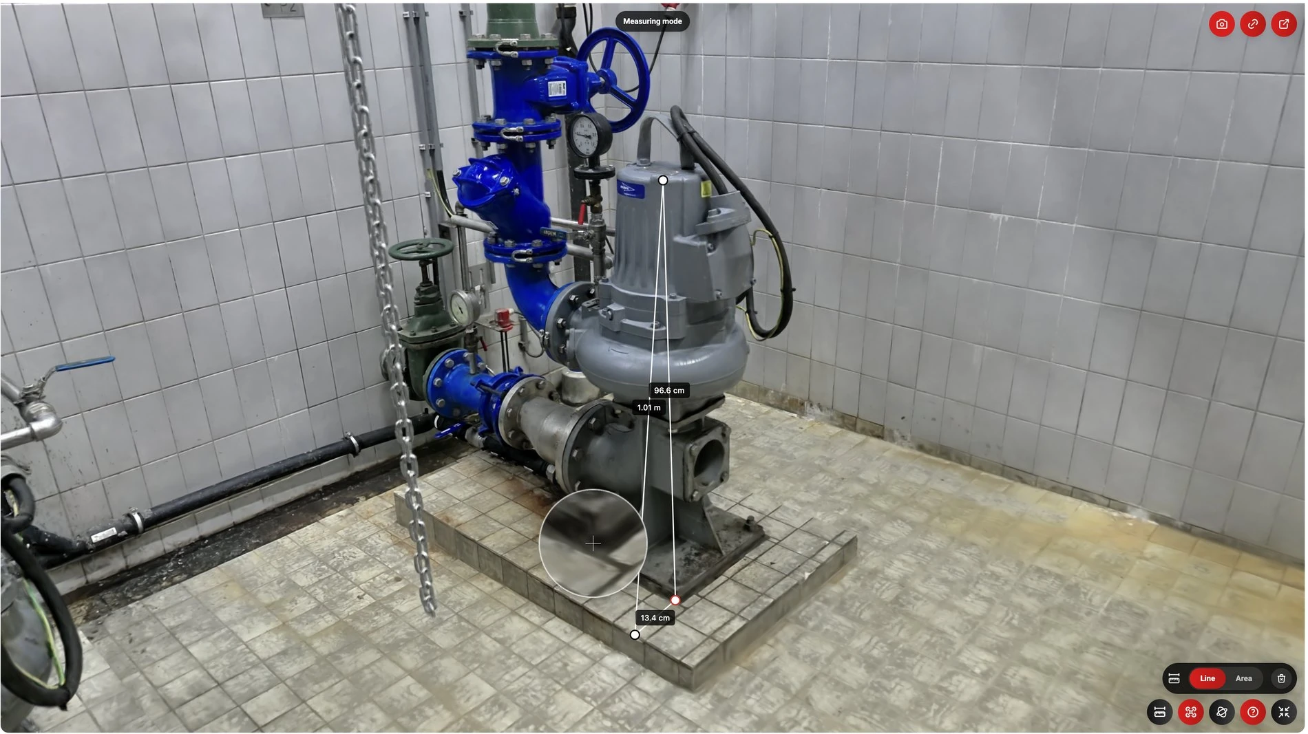
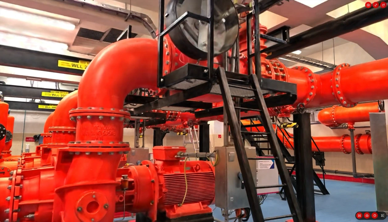
  1. Photorealistic 3D capture of a pump installation with an electric motor, flanges and pipework

    Assess risks

    Review layouts, installations and survey findings remotely. Give risk specialists and valuers more context for their assessment.

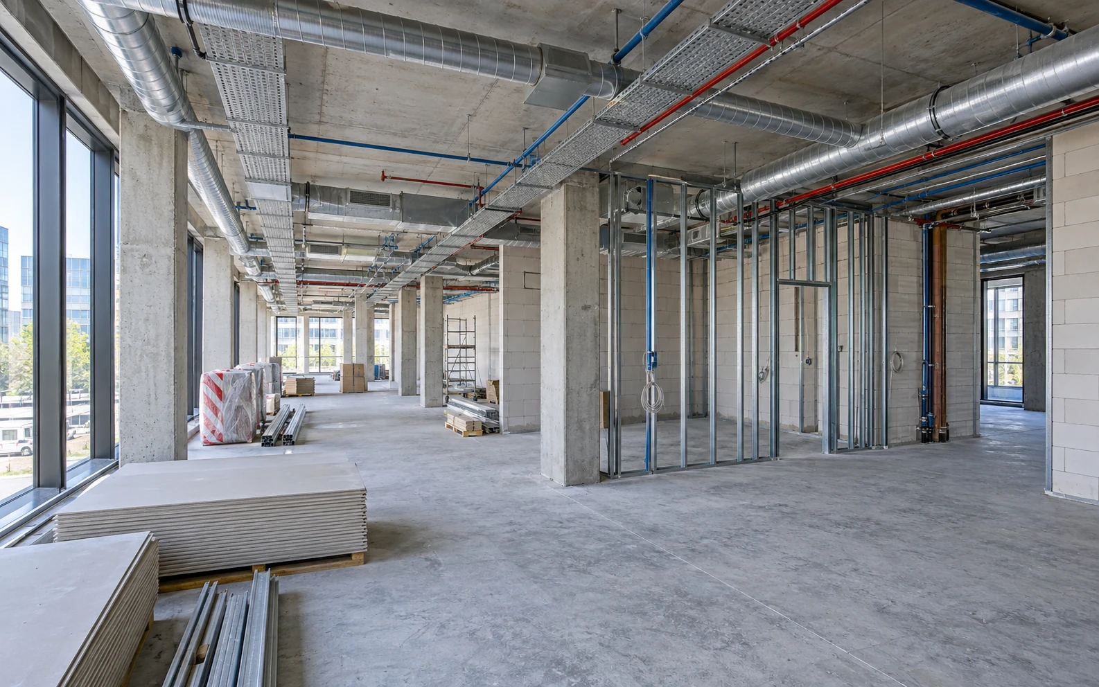
  2. Illustration of a construction stage with open partitions and exposed services

    Track changes

    Capture high-risk sites and construction or restoration projects at regular intervals. Compare visible progress with schedules and loss prevention measures.

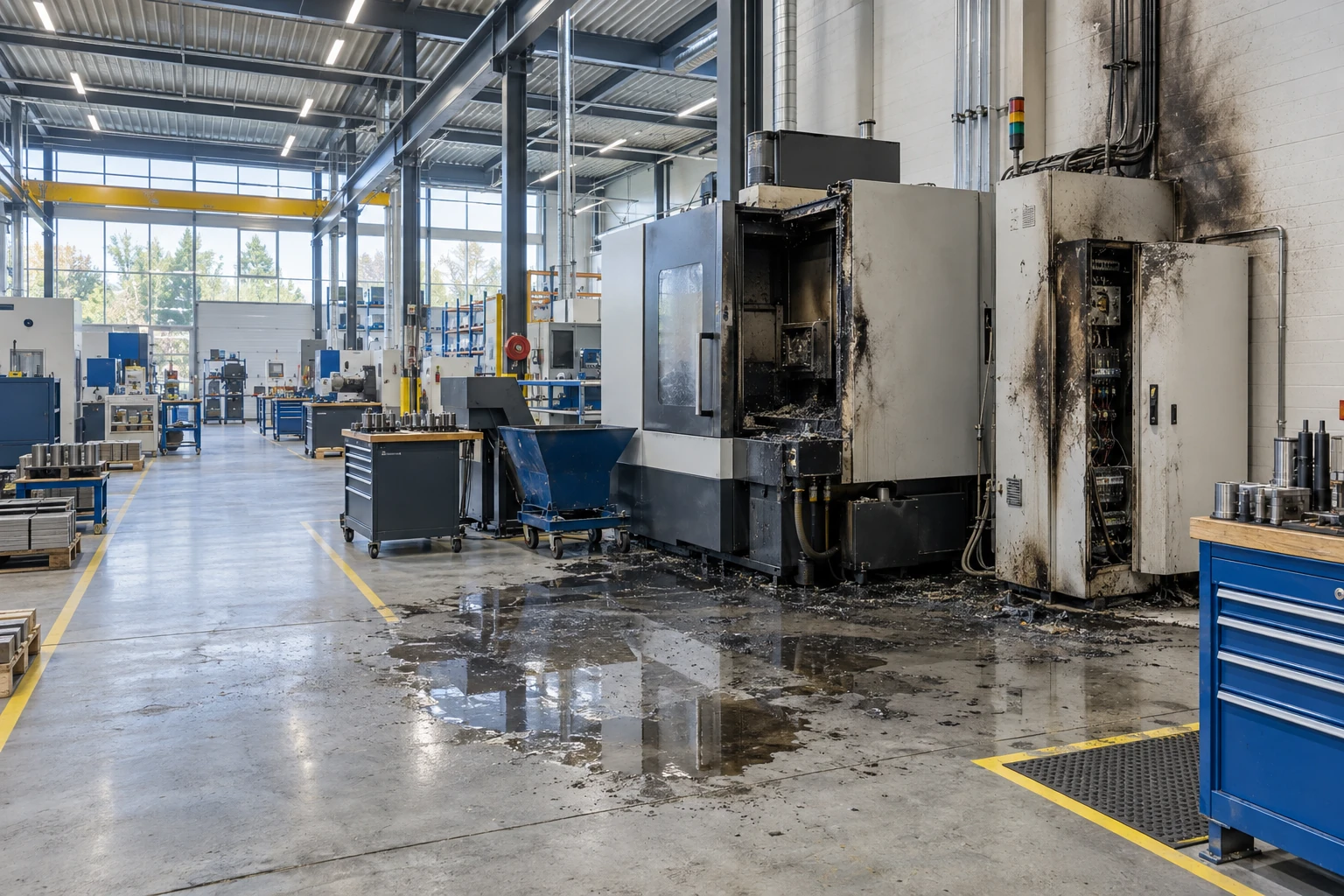
  3. Illustration of damage in a factory

    Coordinate claims

    Let handlers, adjusters and restoration partners view, measure and annotate the same capture. Fewer information gaps and unnecessary return visits.

Example · renovation

The wall is closed. The earlier capture remains.

This illustrated example shows why capturing before finishes matters. You can revisit what was visible, even once the wall or ceiling has been closed.

Illustrated construction stage with an open partition and visible pipework

Before finishes

Record pipework and wall construction while they are visible. Add photos and findings to the relevant component.

The same illustrated space after completion, with the wall and ceiling closed

After completion

If questions or damage arise, revisit how the work was carried out. Recorded details and visible traces remain available, even after completion, clearance or restoration.

Available from your case file.

More about managing and sharing

Share with appropriate permissions. Our APIs connect the 3D environment to your case management system; reports and specific workflows can be automated to suit your needs.

From site visit to case file

One walk-through. 360Models handles the processing.

Capture during a planned visit. Make recording sites a practical part of the workflow, across multiple locations.

  1. 01

    Walk and scan

    Walk through the accessible areas with the mobile scanner.

  2. 02

    Upload the folder

    We process the files into a usable 3D environment.

  3. 03

    Open and share

    Available in 360Models after processing, ready to link to your case file.

Your surveyor or partner captures

Your surveyor or partner scans and uploads the capture. We process it and make the result available in 360Models and/or through an integration with your own software. We are happy to provide training on how to use the hardware.
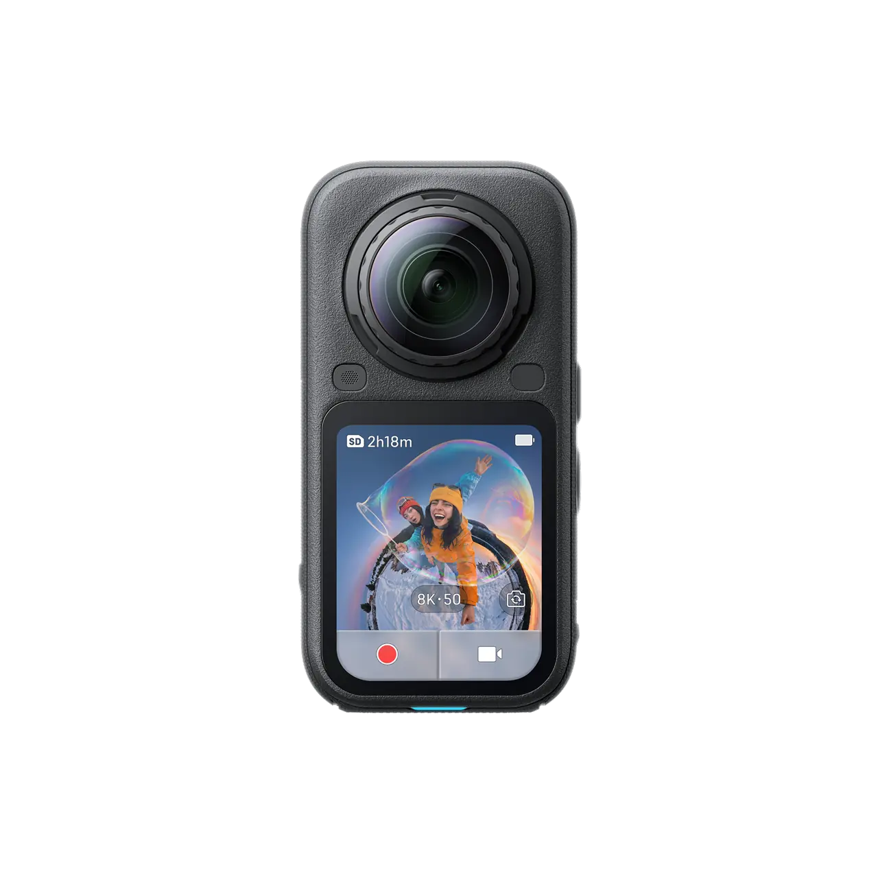
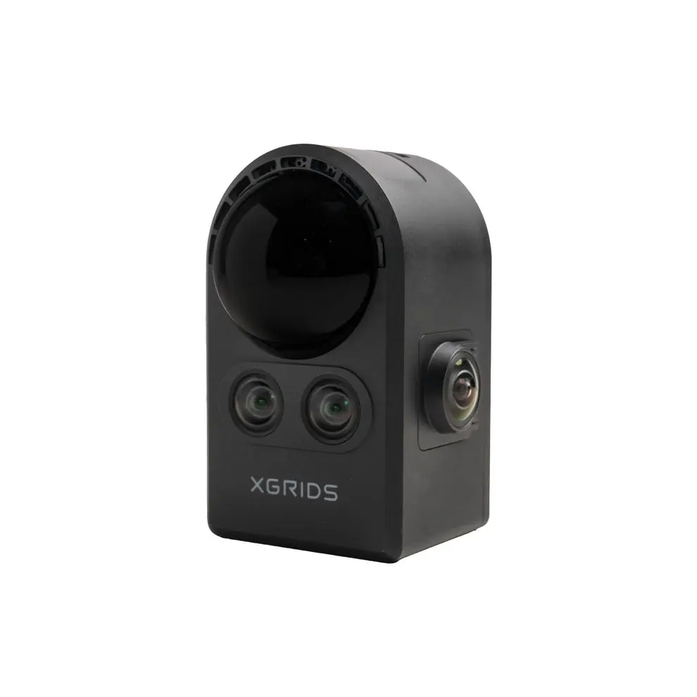
Prefer to outsource? We capture for you.

We scan on site from €350 (up to 250 m²), including processing. Once or at regular intervals.

Explore our scanning service

Want to see how it works?

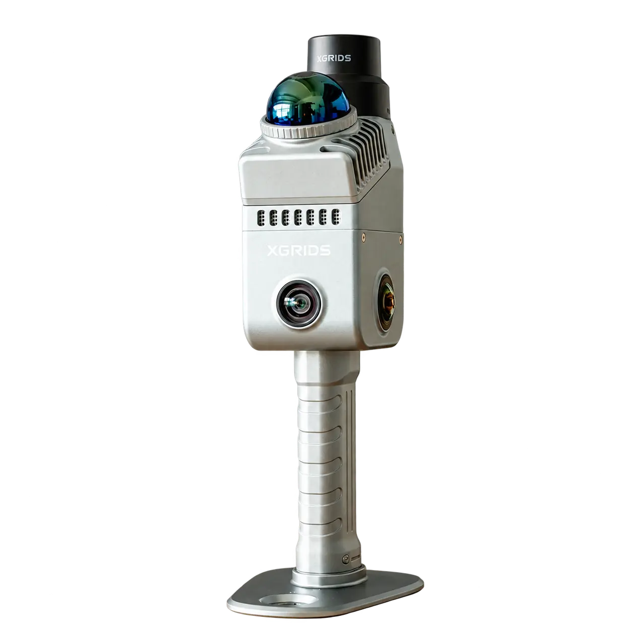
Watch this example from XGRIDS featuring the Lixel K2, one of the scanners we use.

Watch on YouTube

Suitable equipment

Choose what your survey needs.

From a visual overview to technical measurements. We match the scanner to the purpose and required accuracy.

01 / Visual

View & collaborate

Insta360 X6
Insta360X6
XGRIDS PortalCam
XGRIDSPortalCam

For site overviews and remote discussions.

Visual documentation

02 / Measure

View & measure

XGRIDS Lixel K2
XGRIDSLixel K2
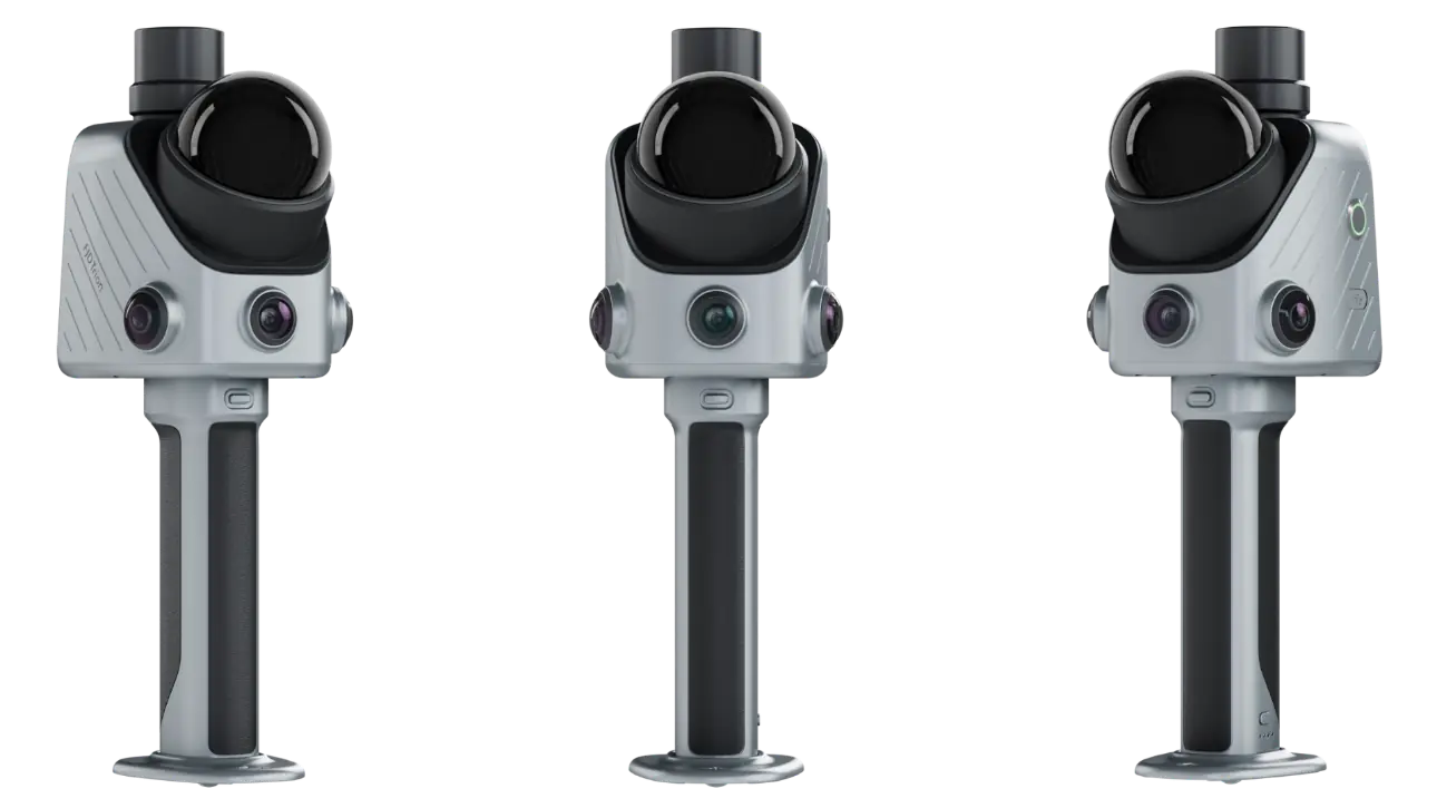
FJDynamics Trion X1
FJDynamicsTrion X1

Photorealistic capture with measurable scan data.

Surveys and loss assessment

03 / Precision

Technical capture

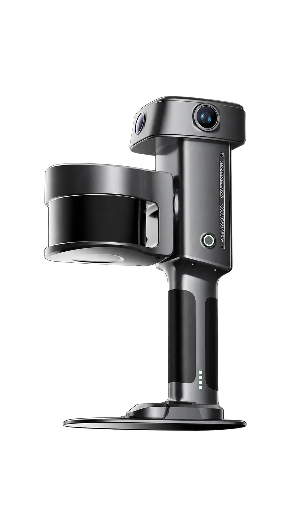
XGRIDS Lixel L3
XGRIDSLixel L3
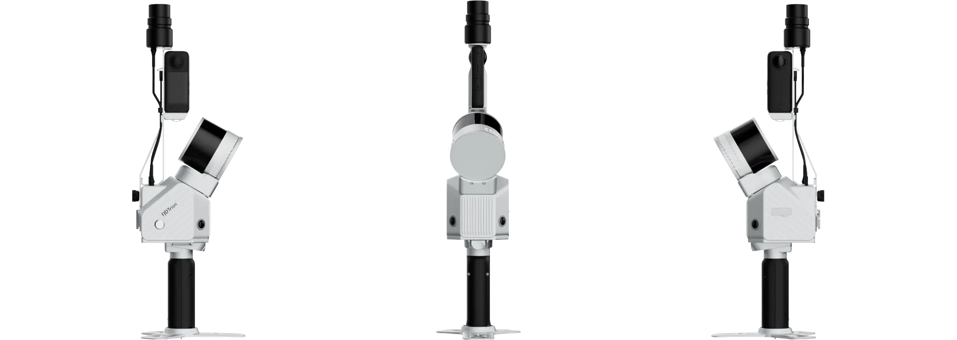
FJDynamics Trion S2
FJDynamicsTrion S2

For complex installations and technical deliverables.

Higher accuracy requirements

Built to integrate

API-first. In your software.

Our APIs connect scans, the 3D viewer and AI to the software you or your customers already use. Captures can then be accessed from existing inspection or claims files.

  • Connected to your projects and assets
  • Within your existing workflows
  • With access permissions that fit
The 360Models viewer showing a measurable 3D scan of a technical installation
The 360Models viewer, integrated into your software via API.

Scans, models, drawings and documents in one workspace

  • GLB
  • FBX
  • SKP
  • OBJ
  • STEP
  • LAS
  • LAZ
  • PLY
  • PLY 3DGS
  • LCC
  • LCC2
  • SOG
  • DWG
  • PDF
  • PNG
  • JPG

Practical questions

For your workflow

Which sites benefit from a 3D capture?

Buildings, commercial premises, installations and construction projects where spatial context helps risk surveys, valuations or loss assessment. A pilot helps establish which cases benefit sufficiently in terms of time and follow-up questions.

Does a scan replace the surveyor or loss adjuster?

No. A scan records visible conditions. Hidden damage and causes may require further investigation. Captures, reports and work agreements help experts investigate changes and responsibilities; professional judgment remains essential.

How accurate are the measurements?

Accuracy depends on the scanner, site and capture. We select equipment based on the accuracy you need and the specifications of that system. Critical measurements require verification.

How are access and retention managed?

We configure roles, permissions and access for external parties around your workflow. Retention periods, deletion and sensitive information are also agreed in advance.

Start with one site

Put it to work on your own case.

Choose a survey, construction project or claim. We agree what to evaluate: time spent, follow-up questions and return visits, weighed against the cost of capture.

Prefer to speak directly?+31 (0)10 307 6142

Book an introductory call

360Models logo360MODELS