Industry / Infrastructure
Digitize infrastructure with 3D scanning, inspection and measurable viewers
360models helps teams capture pumping stations, bridges, tunnels, quay walls, locks, technical rooms and construction sites as usable online 3D environments. Teams can inspect, measure, annotate, share and manage the context without repeatedly travelling to site.
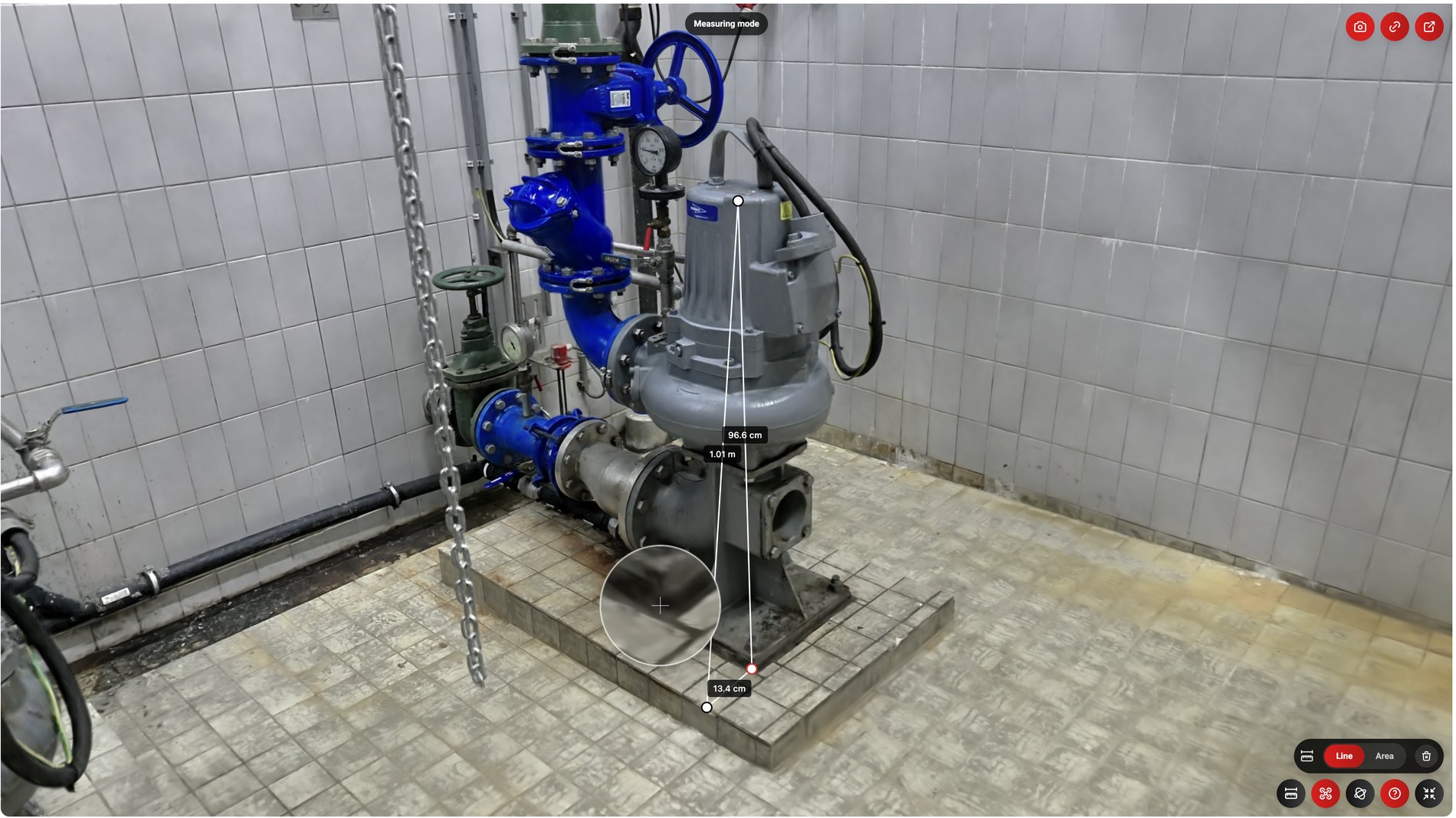 Measuring mode96.6 cm1.01 m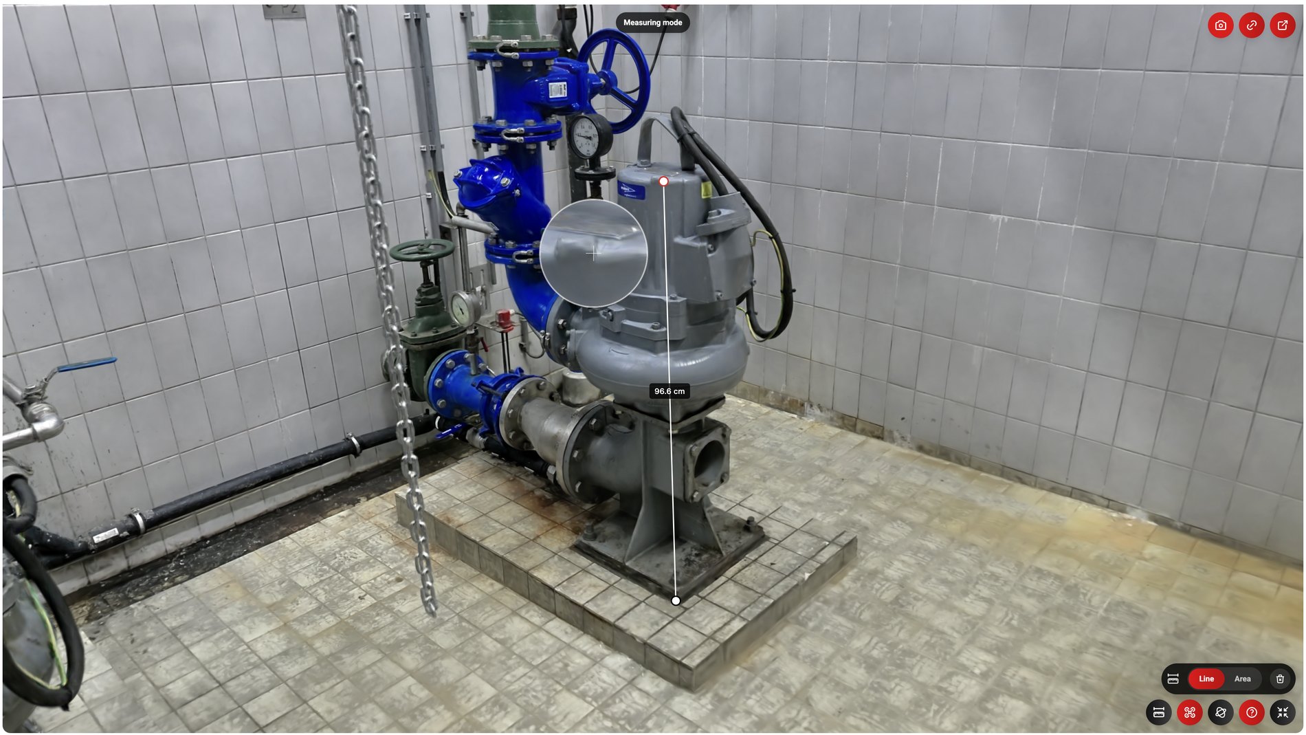
Short answer
Digitizing infrastructure with 360models turns an existing situation into a usable online 3D environment. Depending on the purpose, the result can include a point cloud, mesh, photorealistic Gaussian Splat, CAD or BIM model, or digital inspection environment. Teams can then view, measure, annotate and document the location remotely.
When relevant
Do you recognize one of these situations?
If you need to capture a bridge, pumping station, lock, tunnel, quay wall or technical room quickly.
If inspection, site walks, maintenance preparation and stakeholder meetings still require too many site visits.
If a raw point cloud is valuable but not accessible enough for every manager, contractor or stakeholder.
If baseline captures, damage reports, revisions and handover documentation are scattered across photos, reports, drawings and separate files.
If asset information is disconnected from the visual context, making it hard to see exactly where a note, measurement or maintenance point belongs.
Capabilities
How 360models puts 3D to work
3D asset management
Manage files, models, scans, metadata, revisions and publication status centrally.
Inspection context
Give teams visual context for preparation, inspection, documentation and decisions.
Browser-based viewers
Give colleagues, customers or partners access to 3D context without heavy software.
Measurements and annotations
Connect notes, labels, documents and data to the right place in the 3D environment.
Approach
From source data to daily use
Collect or create 3D data
Start with scans, models, point clouds, CAD, technical drawings or new 3D production.
Structure the assets
Organize assets by organization, category, status, metadata, revision and intended channel.
Add workflow context
Connect annotations, measurements, access rules, documents, API data or inspection information.
Publish and maintain
Use the same managed source for viewers, digital twins, WebAR and integrations.
FAQ
Frequently asked questions
Digitize bridges, pumping stations, tunnels and other infrastructure for remote inspection, baseline surveys, maintenance and as-built records.
Where could 3D help your team today?
Start with the problem you want to solve. Data and business logic can remain in existing software; 360models adds only the capture, management and visual 3D application you need.