3D capture / Self-service scanning
You scan the site. We make it usable.
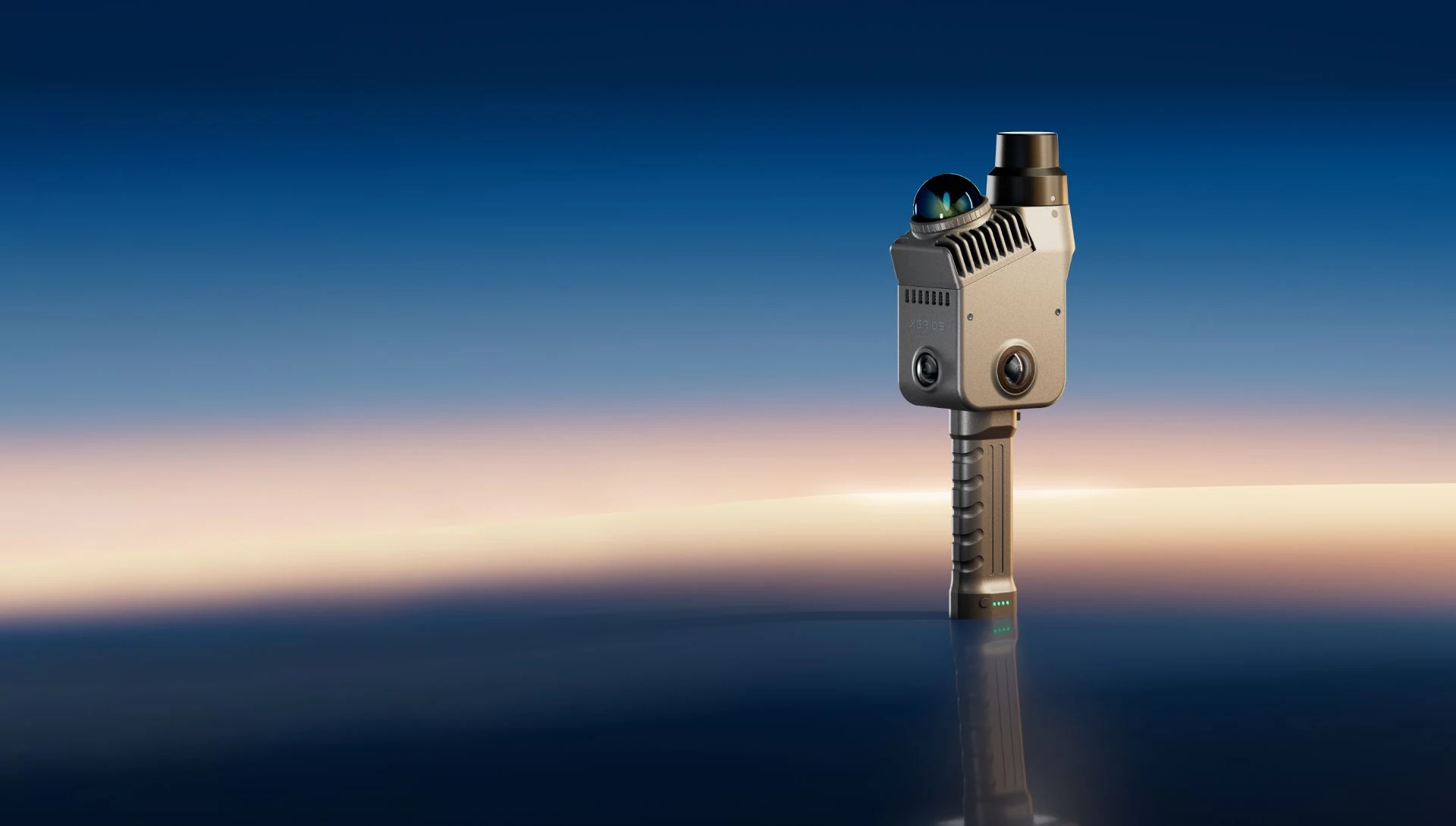
Take the scanner, capture the site and upload the folder. We handle processing and make the result available in 360Models. Your team can then work together in a photorealistic 3D environment, including from existing software through our API.
Short answer
With self-service 3D scanning, your own team captures each location using existing or newly purchased equipment. 360Models checks quality, processes the scan data and delivers files or a hosted online viewer. This removes our on-site capture costs while keeping specialist processing, publishing and management professionally organized.
Capabilities
How 360Models puts 3D to work
Capture plan and instructions
We translate the required result into a practical scan route, instructions and quality checklist for staff on site.
Equipment review
We verify whether existing or planned hardware and its file output match the required accuracy and intended application.
Upload and technical intake
Your team supplies the raw capture. We check coverage, structure, scale, alignment and usability before full processing starts.
Processing and optimization
We register, clean and optimize scan data for the agreed result without creating unnecessarily heavy deliverables.
Output matched to the work
Choose a point cloud, textured mesh, Gaussian Splat, online viewer, CAD, BIM or drawing output based on the intended use.
Publishing, hosting and access
We publish the result in 360Models, structure it by organization or project and give the right colleagues and partners controlled access.
Repeatable scan workflow
For recurring capture, we establish a consistent method for naming, quality control, versioning and publishing.
File support
Files for 3D models, point clouds and documentation
360Models brings different 3D sources together. For each project, we determine which files are ready to use, which need optimization for online viewing and which should remain available as original source files.
3D files
Point clouds
Images and documentation
Approach
From source data to daily use
Scan
Your team captures the site using the agreed equipment and capture instructions. Record new construction, renovation or maintenance phases as the project progresses.
Upload
Upload the complete capture folder to the right project. We agree which raw scan files, images and reference data are needed for the intended output.
Process
We check coverage, scale and alignment, then process and optimise the data. We identify any areas that need another capture.
Use
Inspect, measure and annotate the photorealistic environment together in 360Models. The result can also be connected to your existing software through our API.
FAQ
Frequently asked questions
Scan the site and upload the folder. 360Models processes your data into a photorealistic 3D environment, with hosting, training and API integration.
This is useful when your organization already owns a SLAM scanner, iPad, smartphone, camera or drone but lacks a reliable processing and publishing workflow. It also helps when locations need regular capture without sending an external scanning specialist to every site.
A typical workflow covers scan, upload, process, use. The exact scope depends on the source data, users and required output.
That depends on the required result. Options include a suitable SLAM scanner, iPad, smartphone, camera or drone. We verify hardware and file output before capture.
No. You can use suitable existing equipment or purchase hardware independently. We can advise which workflow fits your locations, accuracy and desired output.
We provide a capture protocol and check coverage, overlap, scale, alignment and sightlines. If information is missing, we identify exactly what needs another capture.
Depending on source quality, we deliver a point cloud, textured mesh, Gaussian Splat, online viewer, CAD, BIM or drawing output. Feasible deliverables are agreed upfront.
Your employee combines capture with a planned site visit. This removes our travel and physical capture time while specialist processing and publishing remain centrally organized.
Yes. We can publish the result in a browser-based viewer with measurements, annotations and shareable access. Organizations, projects, files and versions stay together.
Yes. A fixed capture and processing workflow is especially valuable across multiple locations or periodic inspections. New versions remain manageable within the same project structure.
Yes, when source data and accuracy are suitable. We agree the required components, dimensions, tolerances and file formats before processing starts.
Where could 3D help your team today?
Start with the problem you want to solve. Data and business logic can remain in existing software; 360Models adds only the capture, management and visual 3D application you need.