The public system currently applies to new construction in consequence class 1. Renovations and monuments are not yet included in this phase.
Solution / Dutch building quality assurance
Visual 3D evidence for quality assurance and remote inspection
Give quality assurance firms and inspectors a measurable digital view of the construction site. The 360Models scan service captures and processes locations. Inspectors can then assess visible and measurable control points remotely in 360Models or their own platform.
CaptureScan service or self-scan
InspectionRemote and in 3D
MeasurementsLinked point cloud
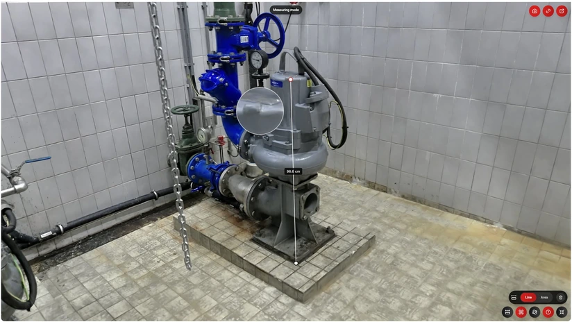
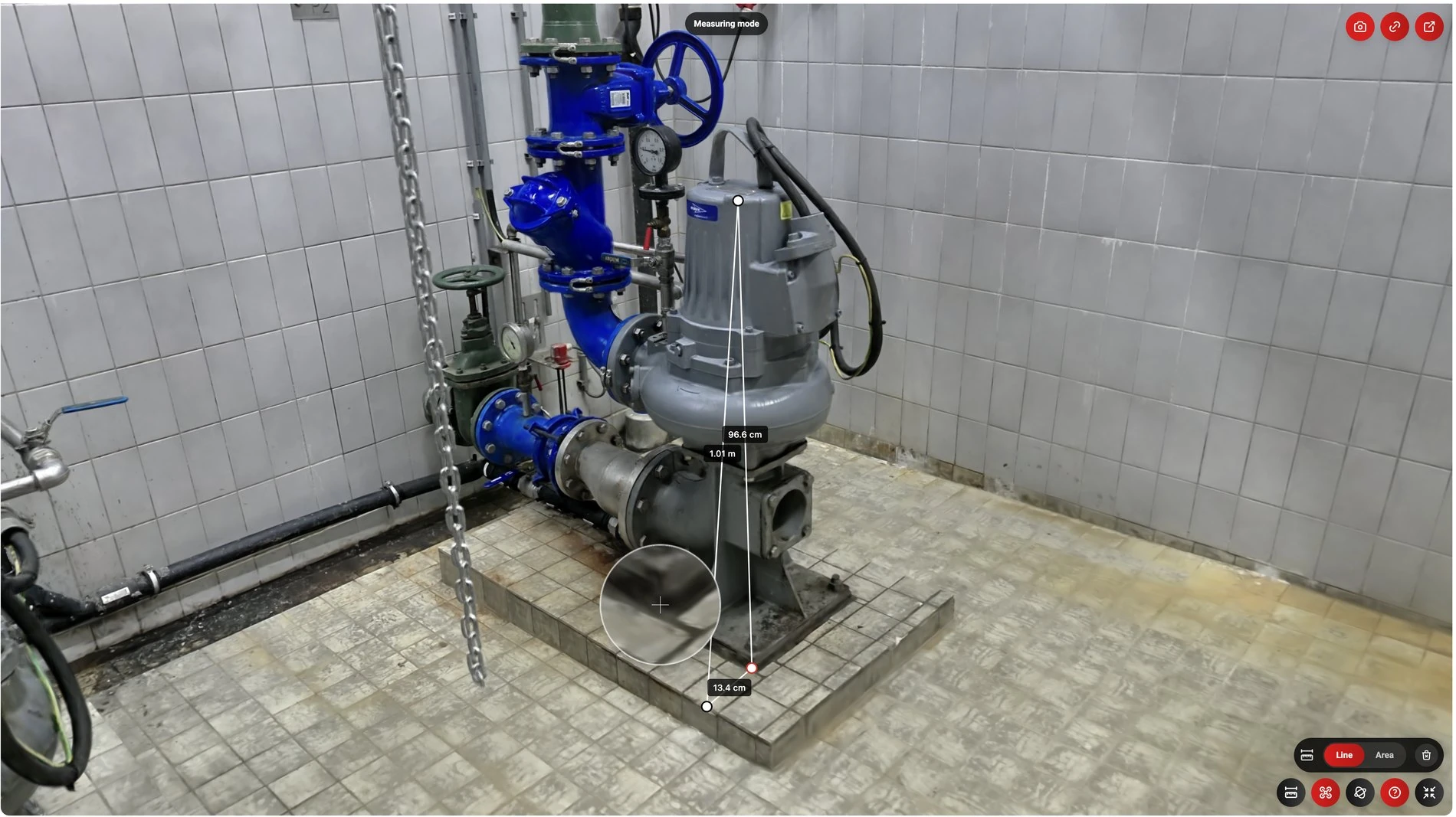 Measuring mode96.6 cm1.01 m
3D scanGaussian / LiDAR / 360Measure and annotate
Short answer
360Models adds a visual 3D layer to quality assurance and inspection workflows. The scan service captures and processes locations from €350 per scan as a photorealistic Gaussian Splat with a measurable point cloud. For control points that are fully visible and measurable, inspectors can review, measure, annotate and substantiate the situation remotely without travelling to the site. A targeted site visit is only needed when physical testing or additional observation is required.
Capabilities
How 360Models puts 3D to work
Remote inspection
For control points that are fully visible and measurable, inspectors can complete the assessment remotely. A targeted site visit is only needed for physical testing or additional observation.
Measurable 3D capture
Combine a photorealistic Gaussian Splat with a linked point cloud for measurements, annotations and checks.
As-built and drawings
Use verified scan information as a basis for as-built documentation and technical drawings.
Own platform and API
Add the visual 3D layer to your inspection platform, client portal or subscription service.
We scan or you scan
Let 360Models capture and process the location, or use your own scanner and outsource processing, publication and hosting.
Controlled sharing
Manage which organisations, projects and users can view scans, measurements, annotations and documents.
Facts and framework
What Dutch quality assurance requires and how 3D helps
These facts describe the legal framework and technical basis. 360Models supports evidence collection but does not take over the statutory role of the independent quality assurer.
The authority dossier and consumer handover dossier serve different purposes. 3D capture can support both but does not replace the required documents.
XGRIDS specifies point-cloud thickness up to 1 cm for the K2. Formal measurements also require project agreements, control points and verification.
Sources:XGRIDS K2
Approach
From source data to daily use
Define the control moment
Decide which elements, connections and dimensions must be visible. Schedule the capture before they are covered by walls, floors or ceilings.
Let us capture or scan yourself
360Models performs the scan, or your team uses its own scanner and supplies the raw data.
Process and verify
We create a photorealistic viewing layer and linked point cloud. For formal measurements, we agree on control and verification beforehand.
Inspect and substantiate
Review, measure and annotate the site. Connect relevant findings and exports to the quality assurance records.
Publish in the preferred environment
Use 360Models or integrate the viewer through an API or embed in your inspection platform or client portal.
FAQ
Frequently asked questions
Capture and process building sites for remote inspection, Dutch Wkb evidence and as-built documentation in 360Models or your own platform.
This is useful when inspectors want to avoid revisiting the construction site for every control point. It also helps when photographs do not clearly show where a defect or building element is located.
A typical workflow covers define the control moment, let us capture or scan yourself, process and verify, inspect and substantiate, publish in the preferred environment. The exact scope depends on the source data, users and required output.
No. The independent quality assurer assesses construction quality and issues the declaration. 360Models supports visual capture, measurement data, remote inspection and evidence records.
A capture can provide evidence and context for the authority dossier and the consumer handover dossier. It does not automatically replace the required documents.
No. The public system currently applies to new construction in consequence class 1. Renovations and monuments are not yet included in this phase. Always verify the current scope.
Yes, when method, conditions, control points, tolerances and verification are matched to the intended use beforehand. We document these measurement agreements per project.
The Gaussian Splat is the photorealistic viewing layer. For reliable measurements, 360Models uses linked geometry or a point cloud as the measurement layer.
Yes. You can use your own SLAM scanner and let 360Models process, verify, publish and host the data.
The price depends on size, accessibility, required measurement accuracy and deliverables. After a short project review, you receive a clear quotation.
Yes. Viewers, project data and access permissions can be added to your platform, client portal or subscription service through an embed or API.
Depending on the goal, we deliver a viewer, Gaussian Splat, point cloud, mesh, CAD, BIM, technical drawings, images or a combination.
Organisation structures and user permissions determine who can view or edit a project, scan, document or annotation.
Where could 3D help your team today?
Start with the problem you want to solve. Data and business logic can remain in existing software; 360Models adds only the capture, management and visual 3D application you need.